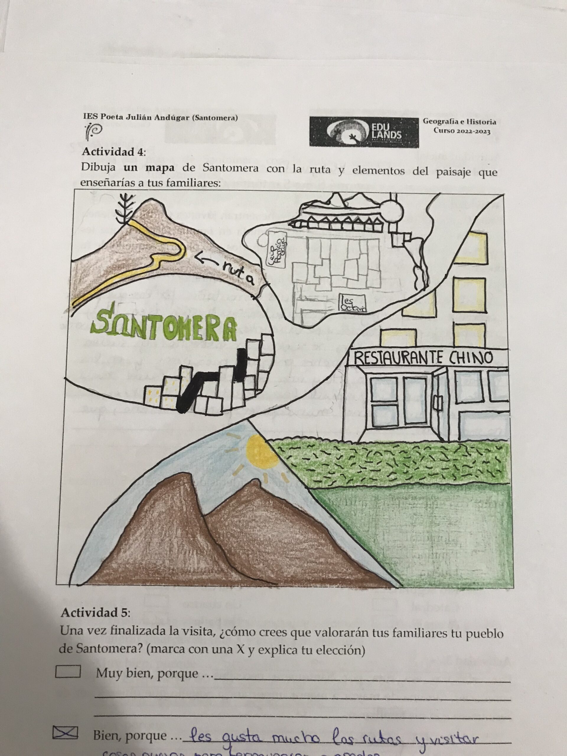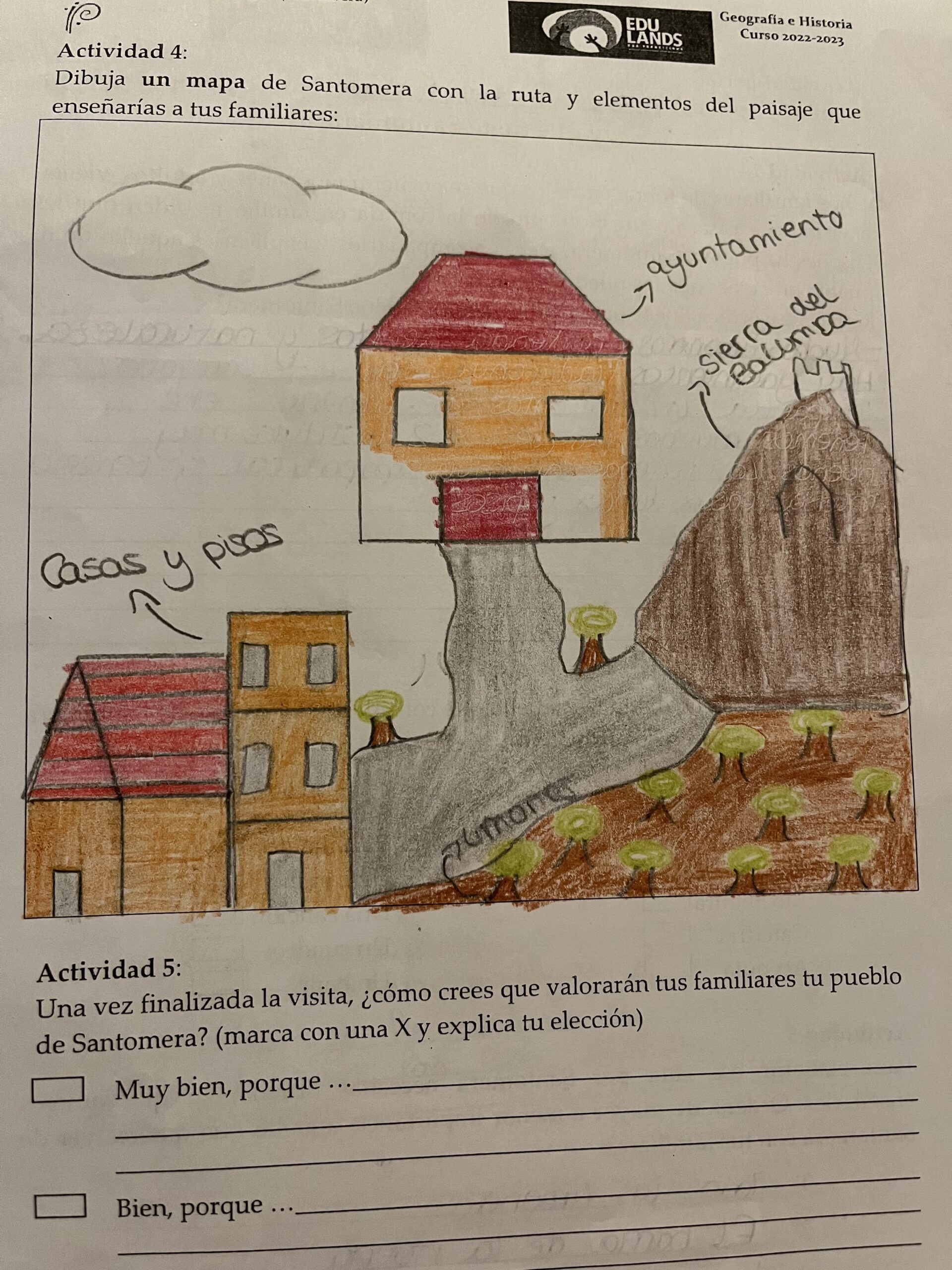
The group of students using a street map of the town and divided into groups of 3 or 4 students, go through the town noting those shops that due to their characteristics they consider interesting for anyone who arrives in Santomera and does not know sustainable and / or traditional trade, as well as recognized places to taste traditional dishes of the area. With the information obtained and together with the teacher of Geography and History we jointly elaborated an audio guide.
The methodology emphasizes prior knowledge assessment, motivating learning situations, heritage education principles tied to Santomera, and collaborative, research-based learning activities. The development of the activity spans sessions dedicated to project introduction, contextualized learning, mental map creation, explanation recording, and sharing results. Evaluation encompasses initial data extraction, ongoing process assessment, and final results analysis to inform future project actions and their impact on students.


The study area in this educational activity is the municipality of Santomera. Students are focusing on exploring and understanding the landscape and elements within this specific geographical area as part of their learning experience.
The type of collaborative experience described in this educational activity is «Project or Problem-Based Learning (PBL).» In this approach, students work together to solve a problem or complete a project that is relevant to their learning objectives. They engage in collaborative activities, research, and teamwork to achieve a common goal, which, in this case, is the creation of a mental map and the exploration of the landscape of Santomera.
The learning experience in this activity is carried out in the municipality of Santomera, specifically in the local landscape. Students are tasked with exploring and understanding their immediate environment, which includes elements of the landscape of Santomera. This hands-on exploration of the local landscape is an integral part of the educational experience, allowing students to connect their learning to the real world and their immediate surroundings.
Drawing apices, IES radio and camera to record.
Extraction of objective data on the perception of the landscape of Santomera of our students.
Collection of data on the process of creating your mind map and the elaboration of the different associated activities.

